About All Tours From Las Vegas ToursHiking ToursHelicopter ToursDriving ToursHorseback ToursSunset ToursElectric Bike Tours Directions Hours & Fees
Find Tours 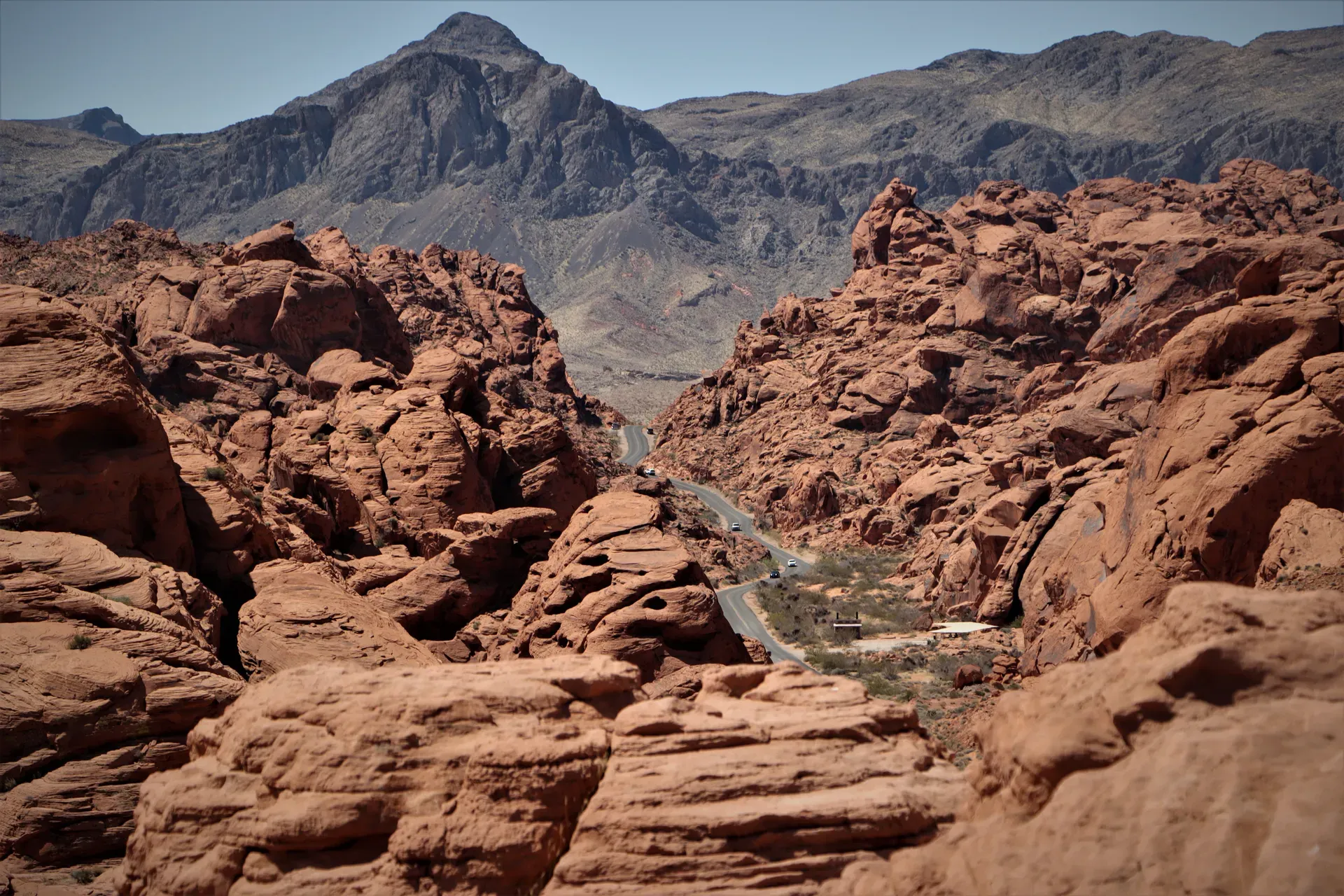
Red Rock Canyon National Conservation Area spans 195,819 acres of the Mojave Desert, located 17 miles west of the Las Vegas Strip. The landscape features 3,000-foot red sandstone cliffs, ancient petroglyphs, and the prominent Keystone Thrust Fault.
Red Rock Canyon National Conservation Area occupies 195,819 acres of the Mojave Desert. The Bureau of Land Management oversees this expanse of Aztec Sandstone, located 17 miles west of the Las Vegas Strip. Three million people visit annually to climb 2,000 established routes, hike through narrow slot canyons, and drive the 13-mile paved scenic loop. The landscape shifts abruptly from flat desert scrub to vertical rock faces reaching heights of 3,000 feet. Iron oxide deposits give the Calico Hills their distinct red and orange coloring. Water pools in natural sandstone basins, called tinajas, supporting temporary ecosystems long after winter rains cease.
Temperatures routinely exceed 90 degrees Fahrenheit from June through August. Summer heat forces the closure of the campground and makes exposed trails highly dangerous. Visitors arriving between October and May find cooler conditions, but they must secure timed entry reservations to access the scenic drive between 8 a.m. and 5 p.m. The gates open at 6 a.m. year-round, offering early risers a chance to secure parking at the popular Calico Hills and Sandstone Quarry trailheads before the mid-morning crowds arrive.
Infrastructure within the conservation area is heavily concentrated at the entrance. The LEED-certified Visitor Center features interactive exhibits, a bookstore, and a protected habitat for live desert tortoises. Beyond this facility, amenities disappear. Cell phone service drops completely past the fee booth. Visitors must download offline maps on applications like GAIA or Avenza before leaving Las Vegas. The Visitor Center provides the only water refill stations in the entire park. Hikers tackling moderate trails like Calico Tanks or Pine Creek Canyon need to carry at least one gallon of water per person.
The 13-mile Scenic Drive operates as a one-way loop with numerous paved pullouts. Drivers share the road with cyclists navigating the steep elevation gains and sharp curves. Leaving the loop to find food in the nearby town of Blue Diamond means forfeiting your entry, as re-entry requires a new reservation. Pack a lunch to eat at the Red Spring Picnic Area, located just outside the gated drive in Calico Basin. Commercial tour buses, limousines, and taxis frequent the loop, paying a $20 vehicle fee plus $5 per passenger. Bicyclists pay $8 to enter and face a grueling climb up the first few miles of the scenic drive before enjoying a long descent. The Red Rock Canyon Campground, located two miles east of the Visitor Center, provides 53 individual standard sites and six RV sites. It operates from September 1 to June 1, shutting down completely when summer temperatures make sleeping outdoors dangerous.
Southern Paiute and Ancestral Puebloan communities inhabited these canyons for thousands of years. They hunted bighorn sheep, gathered agave, and utilized the permanent water sources at Red Spring, Calico Spring, and Ash Spring. Their presence remains visible at the Petroglyph Wall near the Lost Creek Trailhead. Abstract designs and animal figures are carved directly into the dark desert varnish coating the sandstone. Roasting pits scattered throughout the basin show exactly where these early residents cooked agave hearts. The limestone rocks used to build these pits are still blackened from centuries of fires.
European American settlers arrived in the 19th century, drawn by the same reliable springs. The Old Spanish Trail passed near the area, bringing traders and explorers through the harsh Mojave Desert. In the early 20th century, industrial development attempted to take root. The Excelsior Company opened a sandstone quarry along what is now the northern scenic loop. Workers carved massive blocks of sandstone intended for construction projects in Los Angeles and San Francisco. The operation proved uneconomical due to high transportation costs. Workers abandoned the site, leaving massive, squared-off sandstone blocks sitting near the modern Sandstone Quarry trailhead.
Modern preservation efforts started in 1967. The Bureau of Land Management designated 62,000 acres as Red Rock Canyon Recreation Lands to protect the area from Las Vegas's rapid westward urban expansion. Local advocates pushed for stronger federal protections over the next two decades. Congress upgraded this status in 1990, establishing Nevada's first National Conservation Area. This legislation, supported by the Nevada congressional delegation, made it the seventh designated National Conservation Area in the United States. During the 1930s, the Civilian Conservation Corps established camps in the region. While their primary work focused on the nearby Mount Charleston area, their presence improved regional roads, making the remote desert canyons more accessible to early recreational motorists. The transition from remote desert to heavily managed conservation area required significant infrastructure. The current LEED-certified Visitor Center opened in 2009, replacing an older, smaller facility that could no longer handle the millions of annual tourists.
The protected zone expanded significantly in 2002. The Clark County Conservation of Public Land and Natural Resources Act added the Rainbow Mountain and La Madre Mountain Wilderness areas. These wilderness designations prohibit motorized vehicles and bicycles, preserving the rugged backcountry for hikers and equestrians. Today, the conservation area balances heavy recreational use with strict ecological protection. Law enforcement rangers patrol the 13-mile scenic drive to enforce off-road driving bans. Parking off the pavement destroys native vegetation that requires decades to regrow in the arid climate. Visitors planning to explore the backcountry after hours must obtain a late exit permit from the Bureau of Land Management office.
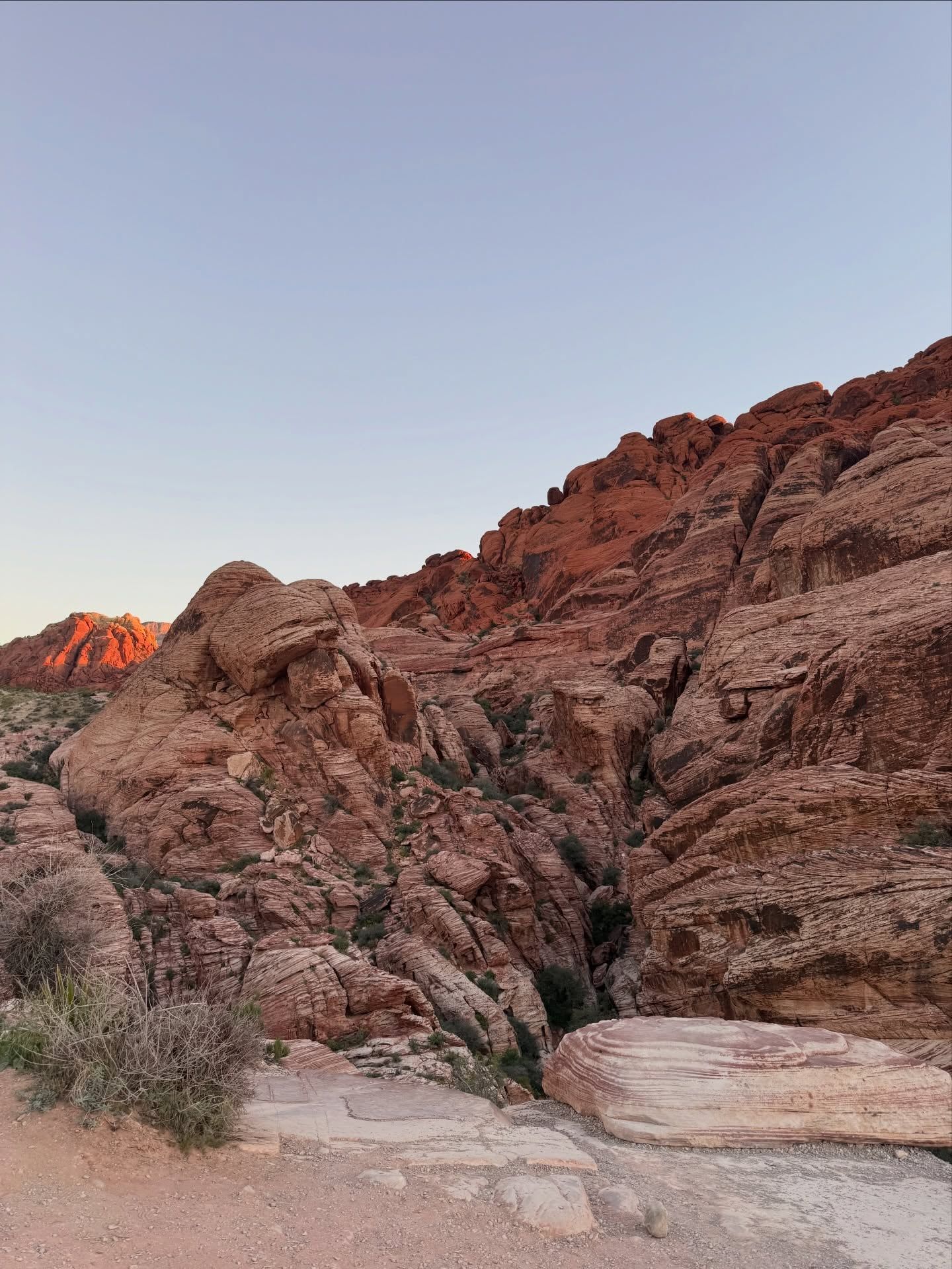
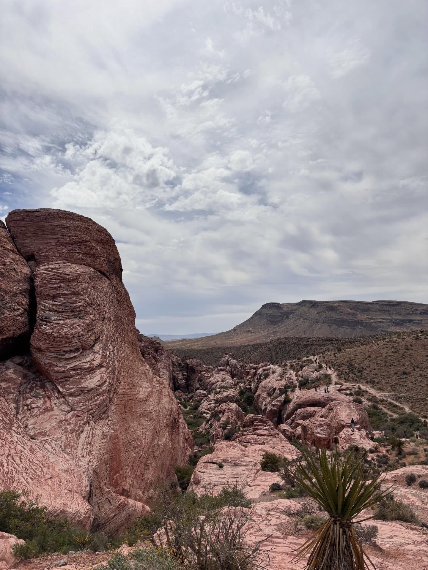
The Keystone Thrust Fault defines the topography of the conservation area. Tectonic forces during the Mesozoic Era pushed a plate of older, gray Paleozoic limestone up and over younger, red Jurassic sandstone. Hikers on the 2.2-mile Keystone Thrust Trail can stand with one foot on 500-million-year-old limestone and the other on sandstone formed 180 million years ago. This fracture extends for miles, creating a sharp visual contrast between the gray peaks of La Madre Mountain and the red rocks of the Calico Hills.
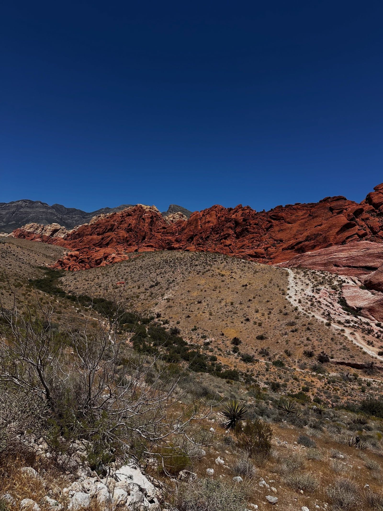
Aztec Sandstone forms the massive cliffs dominating the skyline. These rocks originated as shifting desert sand dunes during the Jurassic period. Millions of years of wind and water compressed the sand, while groundwater carrying iron oxide cemented the grains together. The concentration of iron dictates the rock's color. High iron levels create deep reds, while areas where groundwater leached the iron away appear white or yellow. The walls reach heights of 3,000 feet, culminating at La Madre Mountain's 8,154-foot peak.
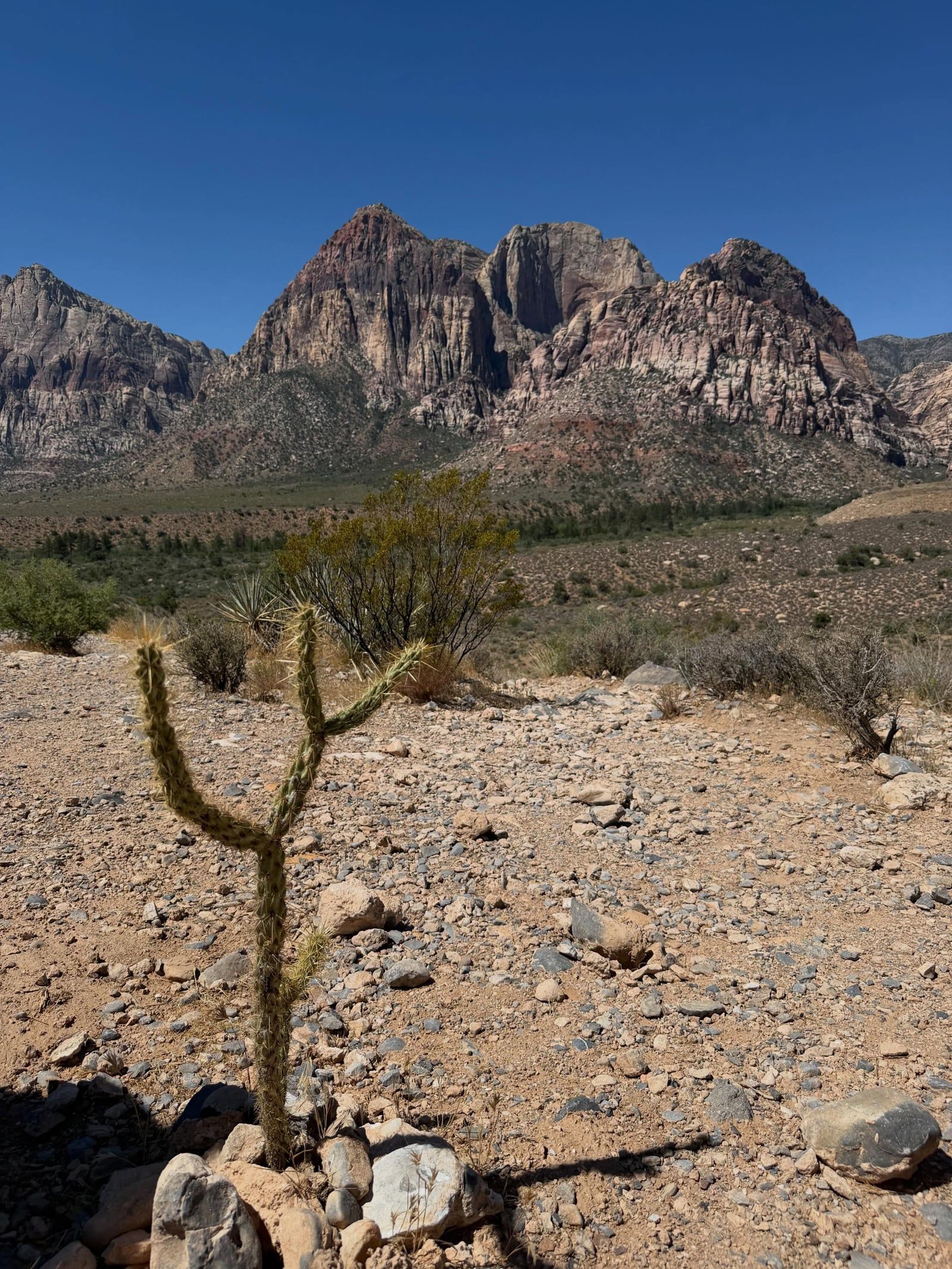
Narrow, deep gorges cut through these sandstone mountains. Ice Box Canyon rarely sees direct sunlight. The steep, striped walls trap cold air, dropping temperatures significantly compared to the open desert floor. A seasonal waterfall flows over the canyon's back wall between December and April. Flash floods pose a severe threat in these narrow spaces. Smooth rock surfaces do not absorb water, causing rapid runoff during rainstorms. Hikers must check the weather forecast beforehand and avoid entering canyons if rain threatens.
The Calico Basin features a completely different ecosystem just outside the main scenic loop. The fully accessible 0.6-mile Red Spring Boardwalk winds through a desert oasis fed by permanent natural springs. Saltgrass meadows, honey mesquite, and large cottonwood trees thrive here, supported by the constant water supply. Rain alters the rock's structural integrity throughout the park. Wet sandstone loses its strength, prompting a strict 72-hour ban on rock climbing after any precipitation to prevent holds from snapping off. The Calico Tanks trail showcases the geological diversity in a single 2.5-mile round trip. Hikers navigate through a rugged wash of yellow and red sandstone, climbing natural stone staircases formed by erosion. The trail terminates at a large tinaja, a natural water pocket that holds seasonal rain. From this elevated vantage point, visitors look east through a gap in the sandstone to see the Las Vegas skyline framed by the canyon walls.
Indigenous communities view the canyons and springs as ancestral homelands. The Southern Paiute people utilized the native flora, weaving baskets from willow branches found near the water sources and harvesting piñon pine nuts from the higher elevations. Red Spring, Calico Spring, and Ash Spring provided the necessary water to sustain life in the arid Mojave Desert. These water sources remain vital to the local ecosystem and hold deep cultural importance for the descendants of the original inhabitants.
Rock art panels document this long-standing human connection to the landscape. At the Petroglyph Wall, visitors examine pictographs painted with mineral pigments and petroglyphs chipped into the rock surface. These markings record hunting patterns, water locations, and spiritual beliefs. Federal law protects these archaeological sites. Removing artifacts or touching the rock art transfers destructive oils from human skin to the ancient pigments. Law enforcement actively prosecutes vandalism to preserve these historical records.
The site now functions as a premier destination for the global rock climbing community. Over 2,000 established routes scale the Aztec Sandstone walls, ranging from beginner bouldering problems in the Calico Hills to multi-day big wall ascents on Mount Wilson. The climbing culture emphasizes strict adherence to leave-no-trace principles. Climbers use chalk sparingly and pack out all waste to maintain the condition of the rock faces.
The conservation area also serves as a stark contrast to the nearby Las Vegas Strip. Located just 17 miles from the casinos, the canyon offers silence and darkness. The Late Night Trailhead, situated off State Route 160, provides an accessible location for stargazing away from the city's light pollution. Local residents heavily utilize the park for morning trail runs and weekend cycling, making it a core part of the Las Vegas outdoor recreation lifestyle. Organized groups frequently utilize the space for events. The Bureau of Land Management issues Special Recreation Permits for weddings, commercial guiding, and groups exceeding 15 people. These permits regulate the impact on the fragile desert ecosystem. Film productions occasionally use the dramatic red cliffs as backdrops, though commercial filming requires permits obtained up to 60 days in advance. Drones are strictly banned for personal use to protect the silence of the wilderness areas and avoid disturbing nesting birds of prey.
The Visitor Center houses a protected outdoor habitat for live desert tortoises.
Natural water pockets in the sandstone, known as tinajas, support temporary ecosystems after heavy rainfall.
Massive, squared-off sandstone blocks from an abandoned early 20th-century quarry still sit near the Sandstone Quarry trailhead.
The Keystone Thrust Fault placed 500-million-year-old gray limestone directly on top of younger Jurassic red sandstone.
Rock climbing is strictly prohibited for 72 hours after rainfall because wet sandstone becomes fragile and breaks easily.
Permanent natural springs, including Red Spring, sustain cottonwood trees and saltgrass meadows in the middle of the desert.
Cell phone service drops completely past the fee booth, requiring visitors to download offline maps before arriving.
Timed entry reservations are required for the Scenic Drive between October 1 and May 31 for entry between 8 a.m. and 5 p.m. You must book these online through Recreation.gov before arriving.
A daily pass costs $20 per private vehicle, $10 per motorcycle, and $5 per pedestrian. Commercial tour vehicles pay $20 plus $5 per passenger.
Ride-share services can drop you off at the Visitor Center, but this is highly discouraged. There is no cell phone service inside the canyon to call for a return ride to Las Vegas.
Dogs can hike on all trails but must remain on a leash no longer than six feet. Pets are strictly prohibited inside the Visitor Center to protect the resident desert tortoises.
October through April offers the safest weather for hiking and climbing. Summer temperatures regularly exceed 90 degrees, making exposed trails dangerous and forcing the campground to close.
The paved, one-way Scenic Drive covers 13 miles. Driving the loop takes about 30 to 45 minutes without stopping, but most visitors spend two to four hours exploring the overlooks and short trails.
Seasonal waterfalls flow at Ice Box Canyon and Lost Creek between December and April. These water features dry up completely during the hot summer and autumn months.
Flying drones for personal use is strictly prohibited over all park property, including the wilderness areas. Commercial drone use requires a special permit obtained up to 60 days in advance.
The Red Rock Canyon Campground sits two miles east of the Visitor Center, offering 53 standard sites and six RV sites. It operates from September 1 to June 1 and closes entirely during the summer.
Seek higher ground immediately, as the smooth sandstone canyons are highly prone to flash floods. Rock climbers must also wait 72 hours after the rain stops before climbing to prevent breaking the fragile wet rock.
Browse verified tours with free cancellation and instant confirmation.
Find Tours